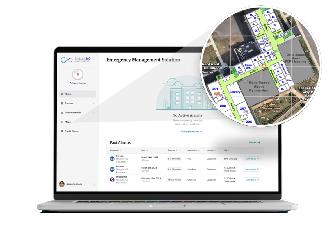
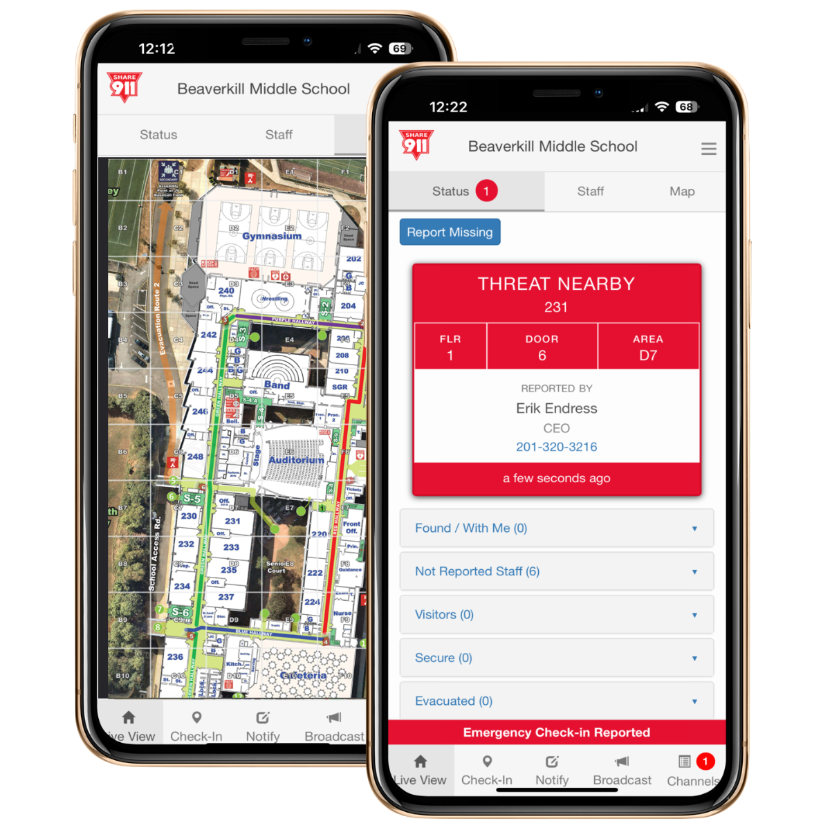
For the most effective use in the field, CRGs integrate easily into the platforms, technologies, and systems that emergency response personnel already use and trust. Explore our suite of integrations below.
First Responder
Mobile Applications
911 Center &
PSAP Systems
Public Safety Software,
CAD Systems & Equipment
Not seeing your public safety application or service? Let us know: info@crgplans.com


Supporting development of the most advanced geospatial intelligence, BAE Systems GXP® software enables rapid discovery, exploitation, and dissemination of mission-critical geospatial data.

Raptor provides integrated visitor, volunteer, emergency management, safeguarding, and early intervention software and services that cover the full spectrum of school and student safety.


Rave Mobile Safety provides the leading critical communication and collaboration platform trusted to help save lives.

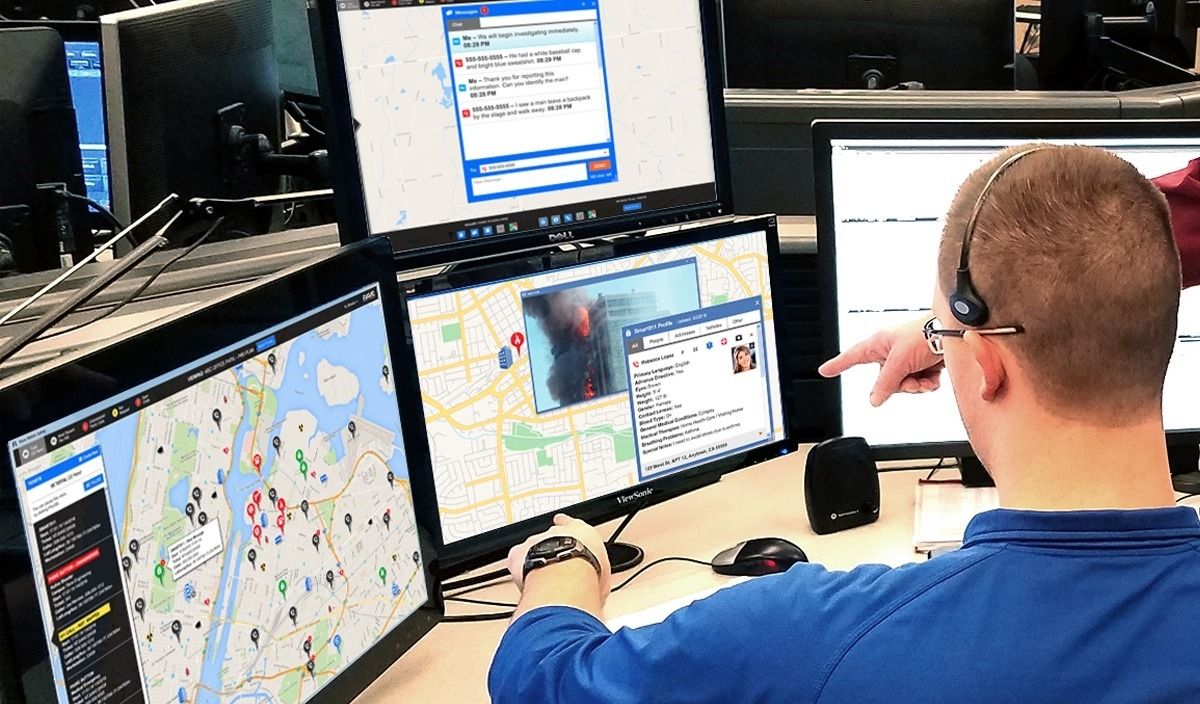
RapidSOS is an intelligent safety platform that securely links life-saving data from connected devices, apps and sensors to safety agents, 911 and first responders globally.


ZeroEyes delivers a proactive, human-verified A.I. gun detection solution that integrates into existing security cameras to stop mass shootings and gun-related violence.

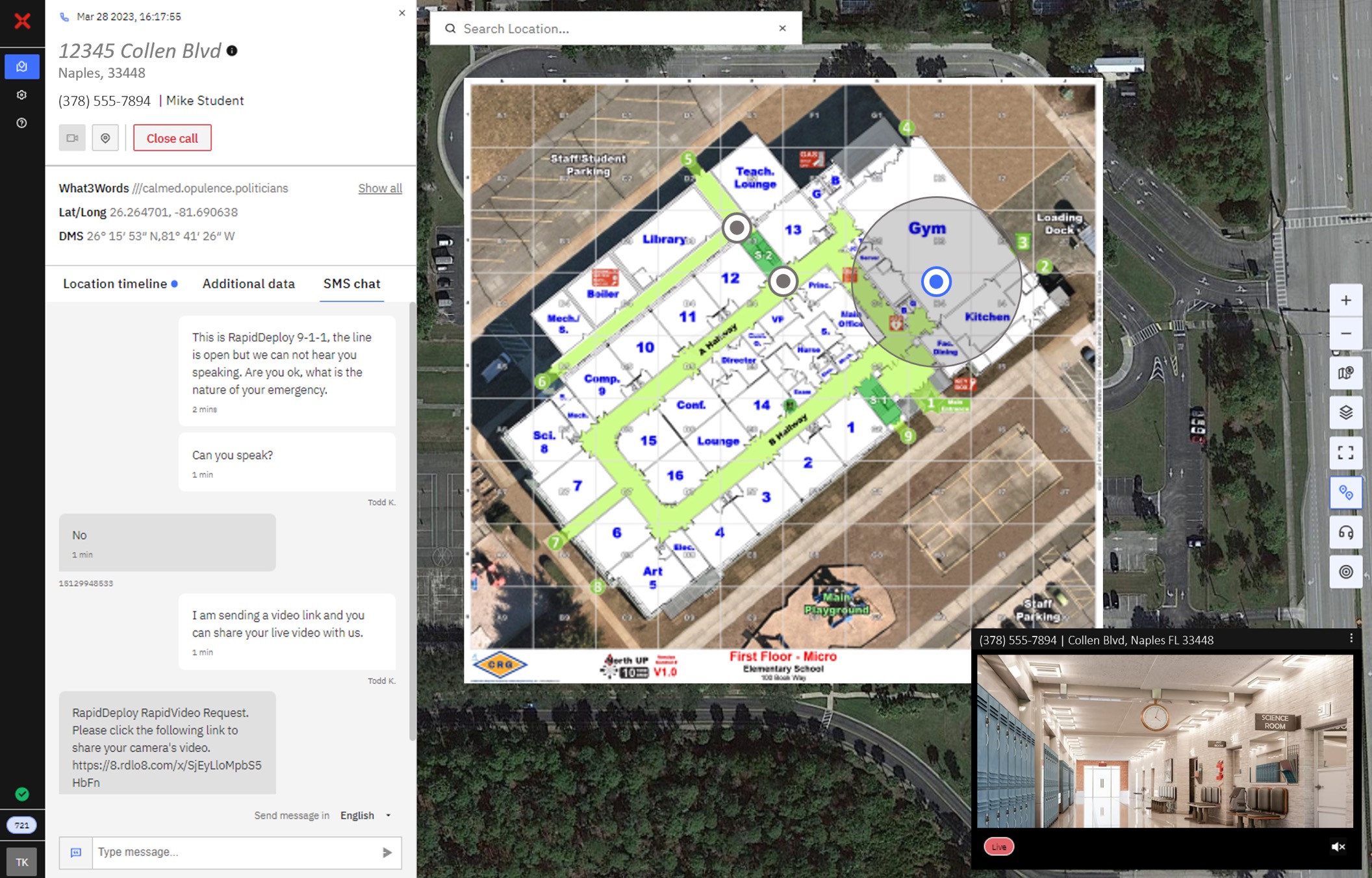
RapidDeploy is the industry’s only truly open and integrated emergency response platform, transforming 911 communications centers of any size into data-centric organizations.


Esri is the global market leader in geographic information system (GIS) software, location intelligence, and mapping.

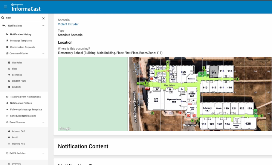
Singlewire Software develops mass notification and incident management solutions that help organizations detect threats, notify everyone, and manage critical events.

DATAMARK is the go-to authority on Geographic Information Systems (GIS) data for public safety, supporting addressing authorities, Public Safety Answering Points (PSAPs) and GIS analysts in the successful transition to Next Generation 9-1-1


Intrado provides end-to-end emergency and incident management solutions to help schools prevent, prepare for, respond to and recover from any kind of threat with a comprehensive set of tools built for keeping students and faculty safe and informed.

Avenza Maps is a mobile map app that allows you to download maps for offline use on your iOS, Android, and Windows smartphone or tablet.


Powering enterprises with insights captured from real-time data, live data streams, predictive analytics, and real-time alerts.

PowerDMS is your one-stop public safety workforce platform, providing a 360º approach to the problems facing law enforcement, 9-1-1, fire, EMS, and more.


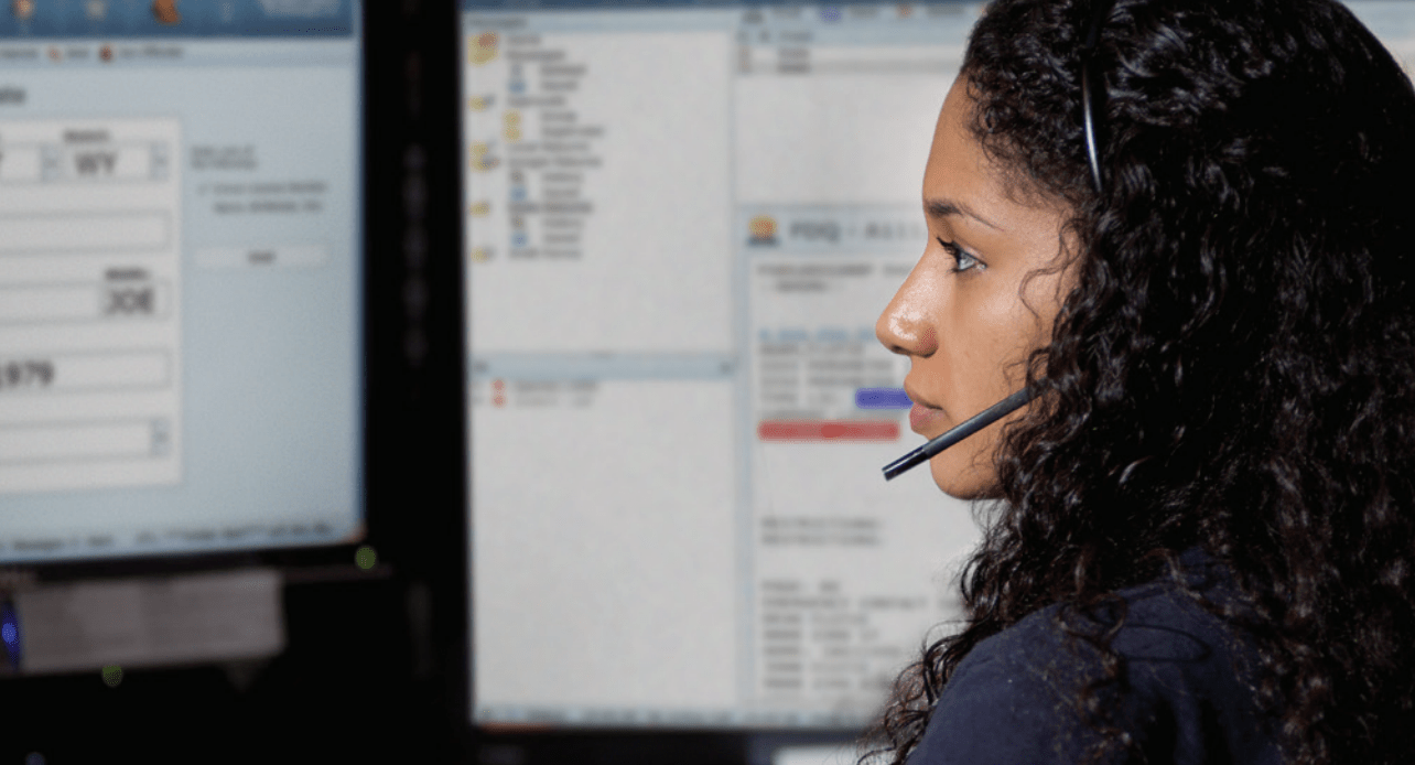
CSI enables communication centers and dispatchers to receive emergency calls, pinpoint the location of the emergency, and then quickly send the appropriate resources to the scene, while first responders—police, fire, EMS personnel—receive accurate, real-time information for enhanced and shared situational awareness.

QGIS is a free and open-source cross-platform desktop geographic information system (GIS) application, allowing users to analyze and edit spatial information, in addition to composing and exporting graphical maps.


Google Earth is a computer program that renders a 3D representation of Earth based primarily on satellite imagery aerial photography, and GIS data onto a 3D globe.

Motorola Solutions is a leader in mission-critical communications products, solutions & services for communities & businesses.


Spillman specializes in integrated on-premises and cloud software solutions, including Computer-Aided Dispatch, Records Management Systems, Mobile Data & Field Reporting, Mapping & GIS, Jail Management Systems, Fire, Data Sharing, Personnel & Resources, and Analytics & Intelligence-Led Policing

SHOTOVER designs and manufactures high-performance gyro stabilized camera systems coupled with the most advanced and easy to use real-time augmented reality mapping and mission management software.


Eventide’s NexLog Logging Recorders and Software are designed to meet the specialized needs of Public Safety, Air Traffic Control, Utilities, Government and Defense, Manufacturing, and other critical communication users.

DroneSense enables first responders to fly drones remotely and send real-time video footage to your command center, creating a comprehensive view that not only saves time and resources but also reduces risks to personnel involved while keeping communities safer.


CrisisGo provides high-quality, secure solutions for organizations to improve their level of protection while integrating with their community’s safety network.

Fusus is an open and unified intelligence ecosystem that integrates and enhances all public safety and investigations assets for law enforcement, first responders, and private security personnel.
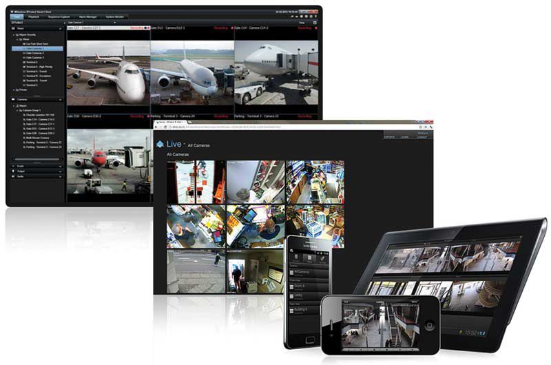

Milestone provides actionable insights from video data through the perfect combination of customer cameras and sensors and it’s open platform software and analytics.

Genetec is a pioneer in the physical-security and public-safety industries and a global provider of world-class IP license plate recognition (LPR), video surveillance and access control solutions.

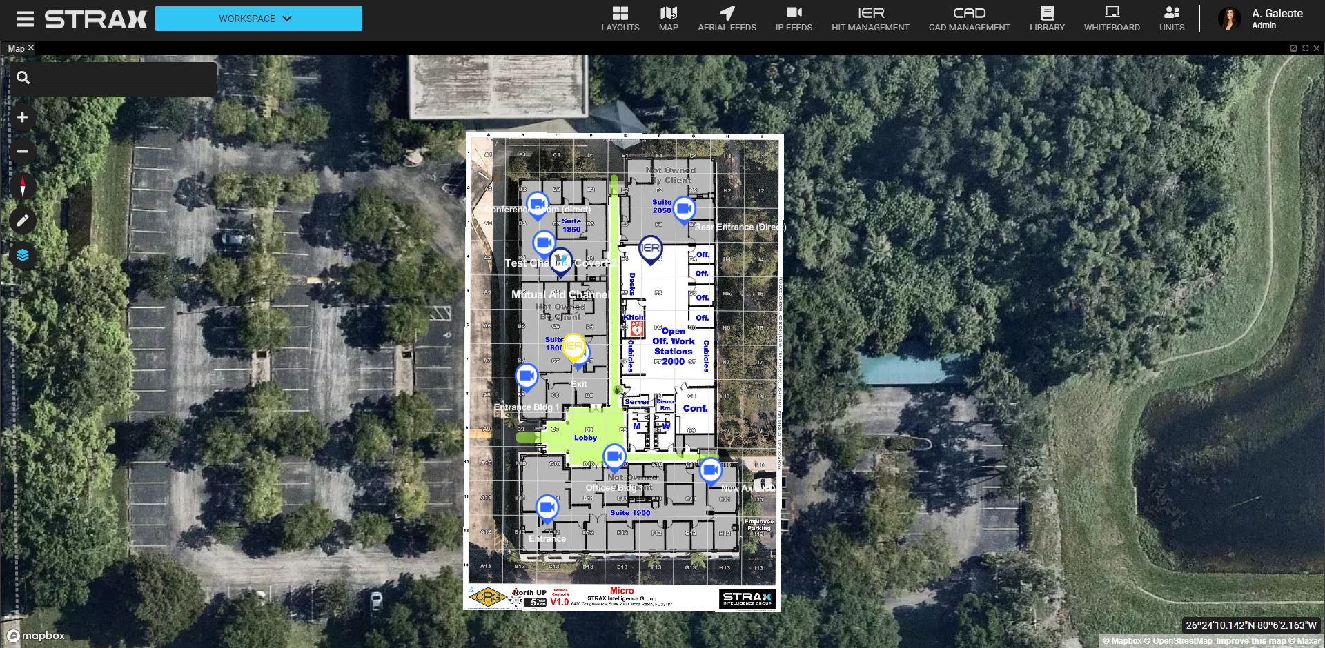

Strax Response develops technology designed to improve incident response and management, and increase the safety of first responders and security personnel as well as the communities they serve.

Battle Boards facilitate operation tracking, navigation, construction plans, search and rescue, underwater survey planning and many other missions from life saving to recreational.


Response Point Technologies (RPT) is revolutionizing public safety infrastructure with First Responder solutions designed to save lives when seconds count.


Guard911 is a mobile panic button app that creates a direct link between Guard911 users and law enforcement officers.

SaferWatch is a 11-in-1 emergency response application that interconnects citizens with law enforcement within one application in seconds saving precious time during incidents.


Flock Safety combines the power of License Plate Recognition (LPR), gunshot detection, and video – to make your community is safer.

10-8 Systems provides computer aided dispatch software (CAD) and records management solutions (RMS) for a variety of public and private companies including law enforcement, emergency medical services, fire, snow, private security and more.


Convey911 is a patent protected, web-based communications platform providing text, multimedia, video & location capabilities with built in language translation supporting over 135 languages & dialects.

Agent511 TEXTBLUE is a software communications platform delivering text-to-911, multimedia, IoT, and video to public safety

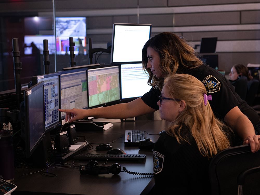

Multi-jurisdictional and multi-agency dispatching software for police, fire, and EMS agencies handling large call volumes in all types of communities.

SmartCOP’s Computer Aided Dispatch system is a state-of-the-art, multi-jurisdictional, multi-discipline public safety software solution for law enforcement, fire, EMS, and other public safety agencies.


Southern Software’s CAD Software is a tool that allows telecommunicators to efficiently obtain the information to respond to Calls for Service (CFS) in a pre-planned, uniform system for multiple agencies and disciplines.

A sophisticated Fire & EMS-focused iOS and Android app that brings all your First Due information to the forefront when on the go.

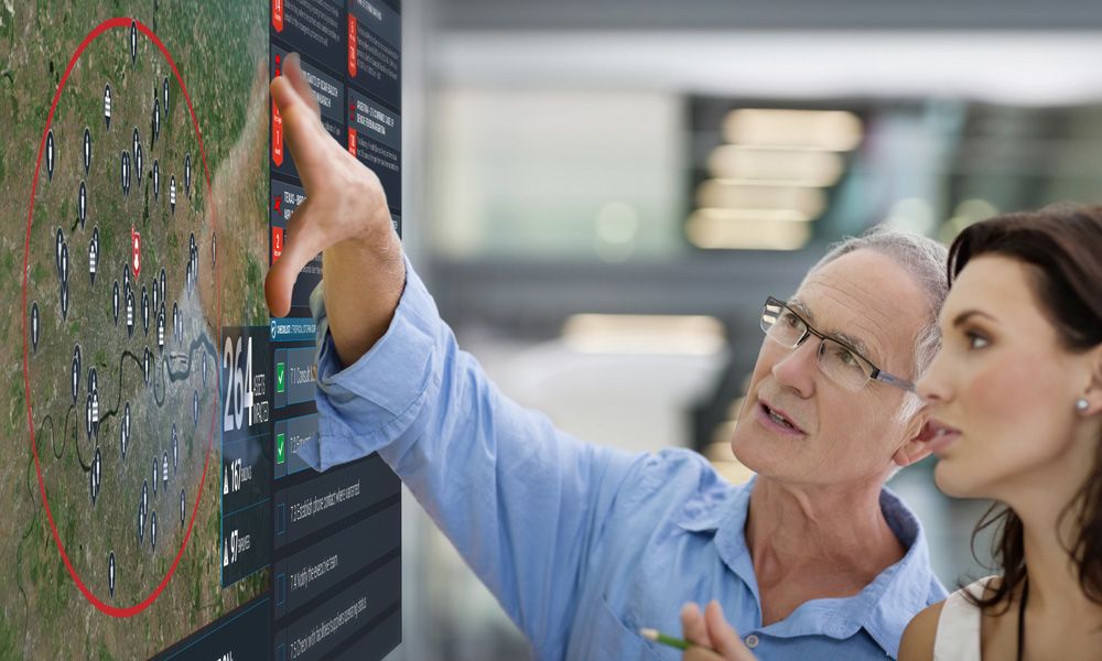

Everbridge 360™ empowers organizations to anticipate, mitigate, respond to, and recover stronger from critical events. Everbridge’s unified platform digitizes organizational resilience by combining intelligent automation with the industry’s most comprehensive risk data to Keep People Safe and Organizations Running™.

Eagle Eye Networks is the global leader in cloud video surveillance, delivering cyber-secure, cloud-based video with artificial intelligence (AI) and analytics to make businesses more efficient and the world a safer place.

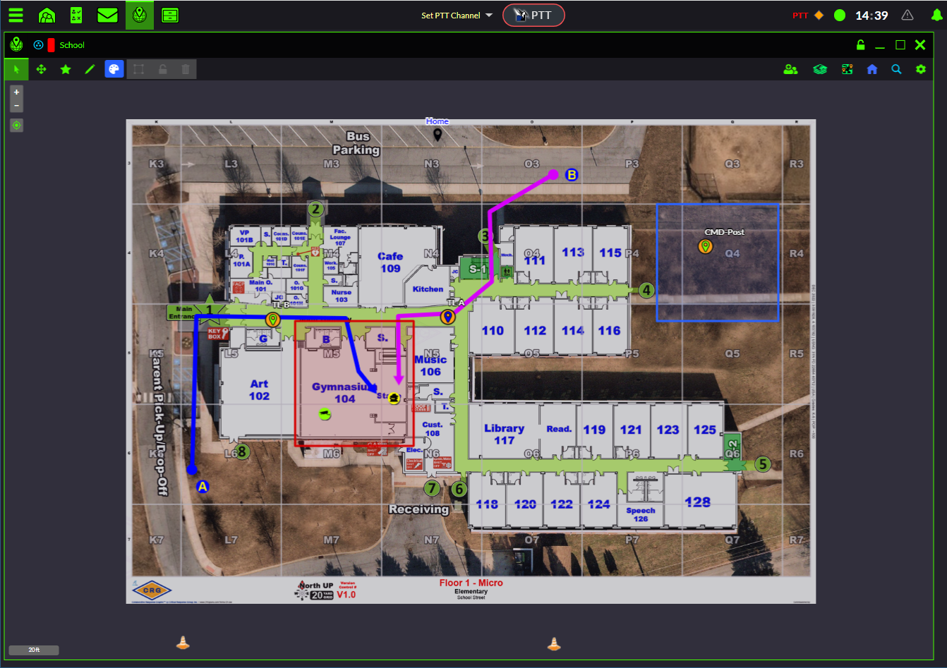

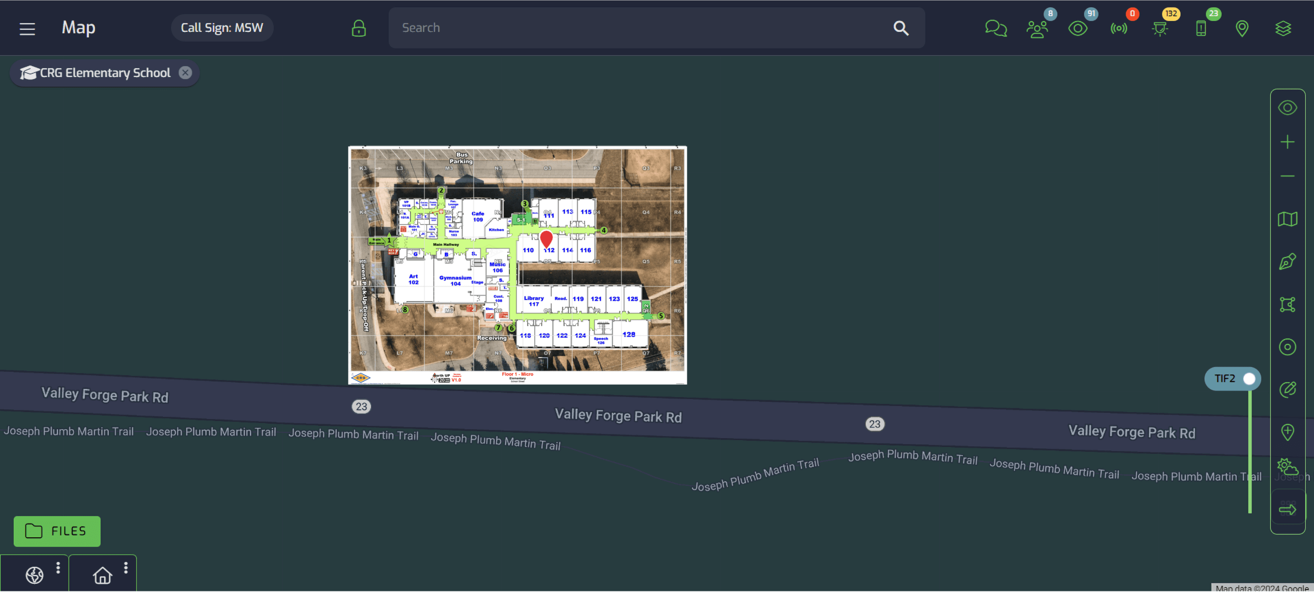
DragonForce is a command and control, team collaboration platform that provides a “Common Operating Picture” and shared situational awareness to users during mission critical operations. DragonForce tools include: real-time personnel tracking, Push-to-Talk (PTT), file & photo sharing, secure text messaging, video streaming, digital forms and situation reports, and tactical white-boarding that enables teams of users to draw on any map, floor-plan or photo.

Layered Solutions’ mass notification software allows users to “layer” with existing communication systems to reach more people faster, easier and more affordably.


Carbyne is the global leader in mission-critical contact center technologies. Today, Carbyne is the largest rich-data provider for mission critical centers, delivering over 250M data points per year all in a unified platform. Carbyne provides a unified cloud native solution which delivers live actionable data that leads to more efficient and transparent operations and ultimately save lives.

LifeSpot is safety and protection technology in the palm of your hand. Easy to deploy, affordable. Plan, Prepare, and Protect your school or office from an Active threat situation.


Aegis 24/7 is a location sharing mobile safety application that gives people location visibility, the ability to signal for help when they need it and if the unplanned occurs, access to guidance information for a planned response.
Core+ | A safety system for enterprise, helping manage staff safety when they are on the move, working late or by themselves.

Q.E.D Inc. offers software solutions for public safety agencies like police and fire departments. Its solutions include Acuity CAD, a 911 emergency computer-aided dispatch (CAD) system, Acuity QuickAccess CAD module for smartphones and tablets, CrimeWeb police records management, FirePartner fire records management, Acuity GIS, a CAD integrated incident mapping solution and Roster Scheduling and Personnel Management System.

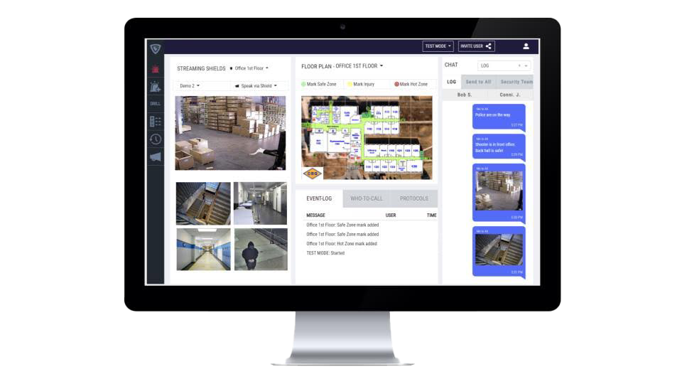


Kokomo24/7® is a leader in compliance and risk management solutions for all things health and safety. Designed for education, they are committed to fostering safer schools and communities by bridging the gap between public safety and technology. Kokomo’s customizable platform allows them to make changes in days and weeks in what would normally take months.

Get Started With CRG Today
Reach out to our team of professionals and see what CRG can do for you.
