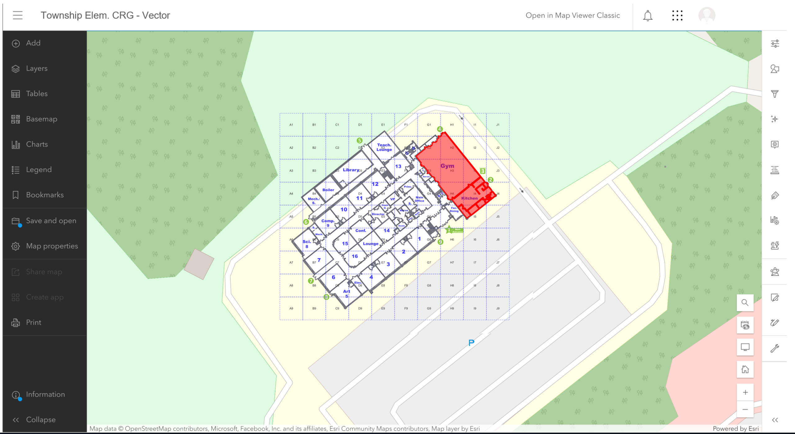

ESRI ArcGIS integrates Collaborative Response Graphics® into their geographic information system (GIS) mapping software.
ArcGIS is a comprehensive geospatial platform for professionals and organizations. It is the leading geographic information system (GIS) technology.
Built by Esri, ArcGIS integrates and connects data through the context of geography. It provides world-leading capabilities for creating, managing, analyzing, mapping, and sharing all types of data.